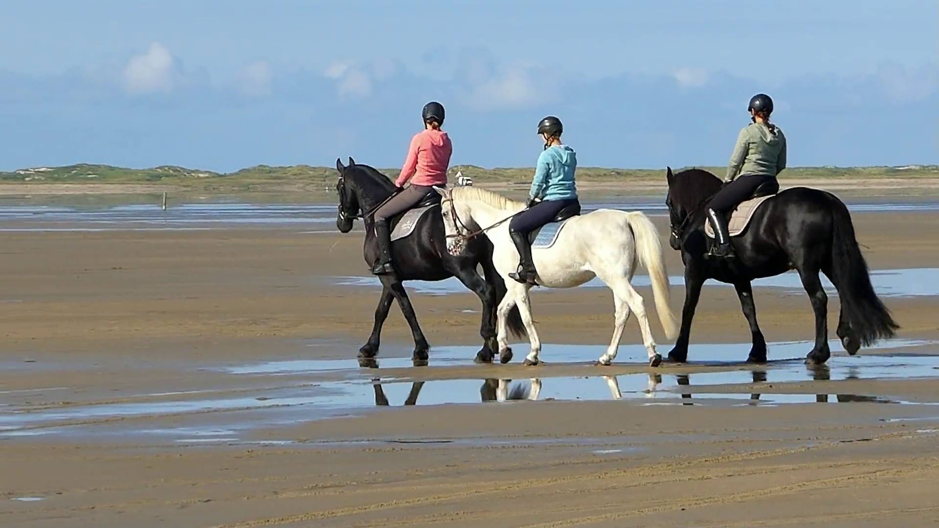
Video Krimker, Pixabay
- 46Waterfalls on the eco trail in the Soskovcheto reserveBulgarian National Radio
- 54,251 haDoñana National Park, declared 1969Junta de Andalucía
- 87.69 %of the Bay of Laganas (Zakynthos) is seaEEA, Natura 2000
- 1,677.5 mmRain a year in Valentia, IrelandNOAA, own means 1991 to 2020
Where water sets the route.
Ripples & Reins is the world in which water belongs to the path. A lake behind the horse, a waterfall at the edge of the route, a river you cross: water makes a ride calmer and the images quieter.
Depth, current and water level, however, are not decided by the landscape but by the season and the provider. We place a ride here when the title names lake, lagoon, waterfall or river. The selection in Europe is still small, and we say so openly.
Where the water waits for you.
You hear the fall before you see it. The air by the water is cooler than in the valley, the ground at the edge is soft and more slippery in wet spots.
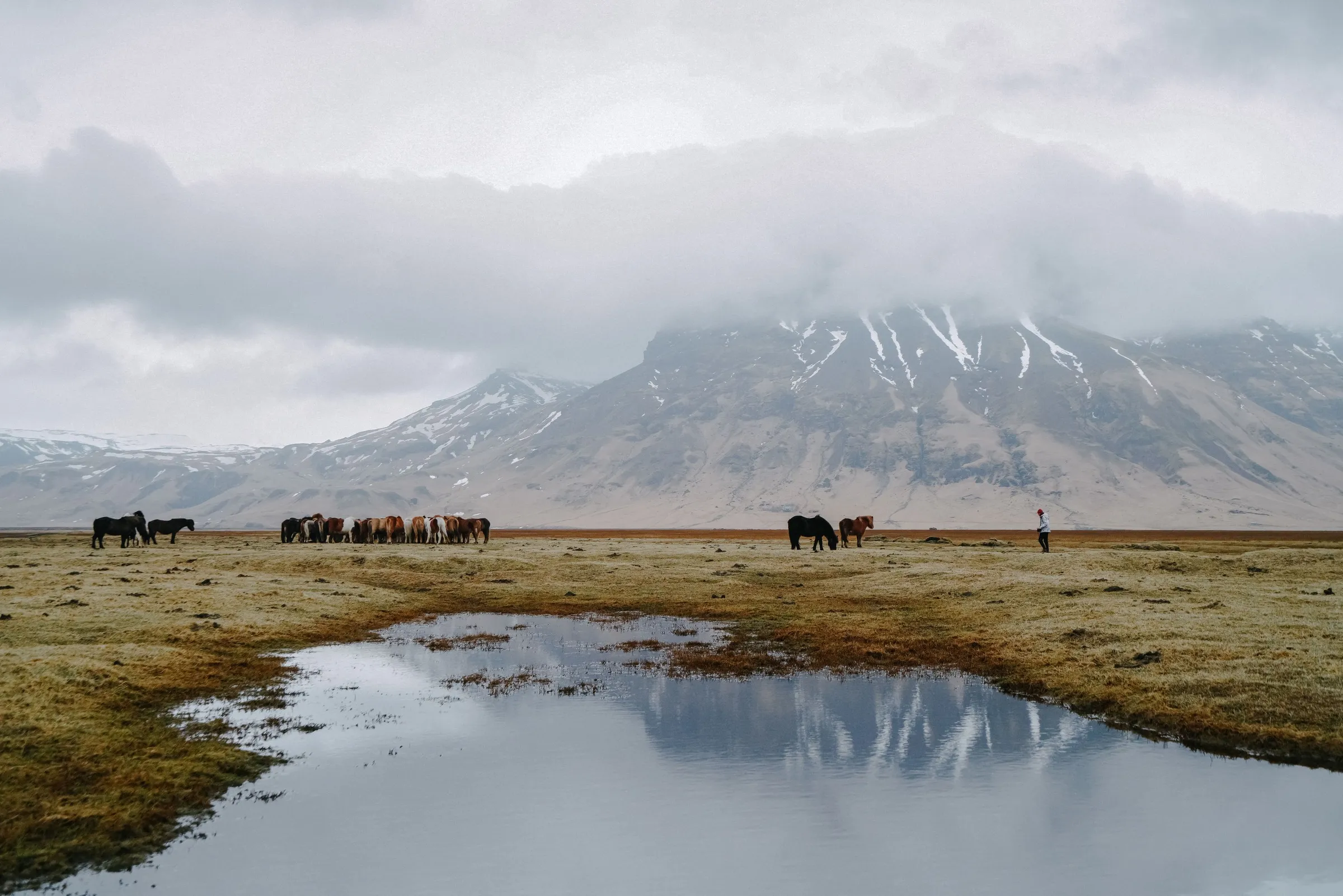 Iceland · Southwest
Hafravatn
Private ride to Lake Hafravatn according to the provider.
To the region Southwest Iceland →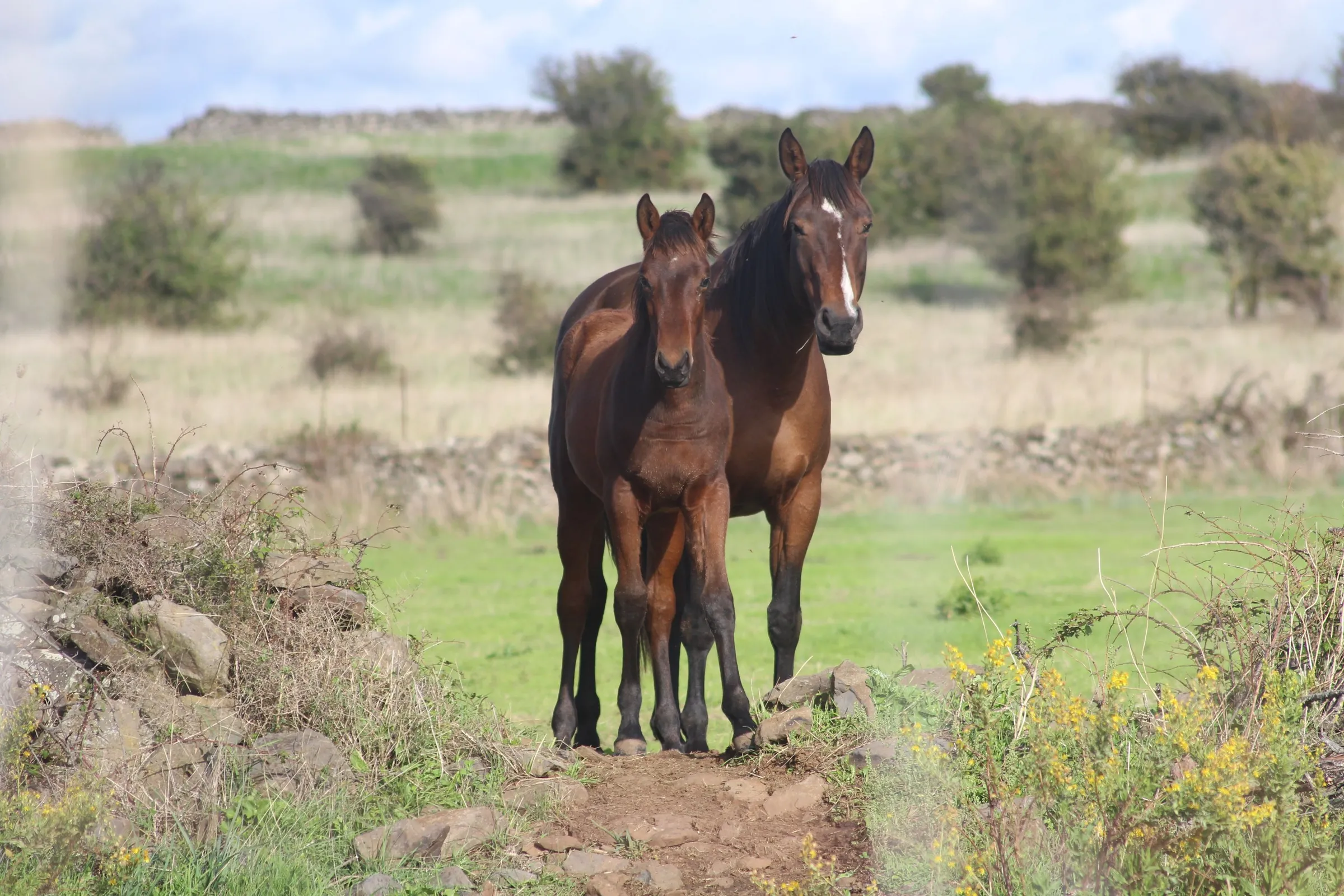 Italy · Sardinia
Lake Baratz
Ride at Porto Ferro and Lake Baratz according to the provider, the Porto Conte Regional Park was founded in 1999 according to Sardegna Turismo.
To the region Sardinia →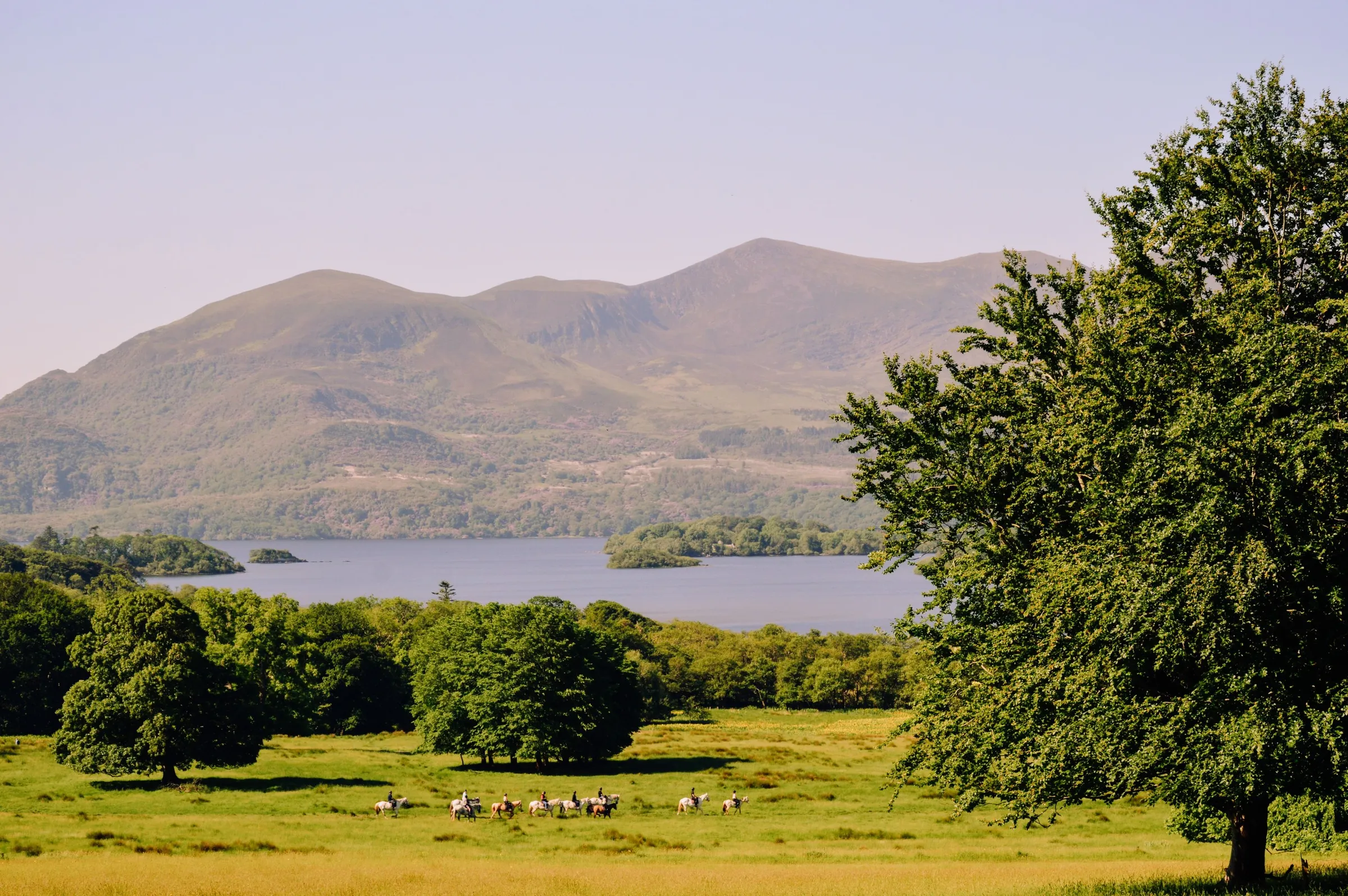 Ireland · Southwest
Killarney
Ride in Killarney National Park by Lough Leane according to the provider.
To the country Ireland →Waterfall
Short ride to a waterfall according to the provider.
To the region North Iceland →Italy · LombardyLake Como
Ride from Colico on Lake Como according to the provider.
To the country Italy →Croatia · DalmatiaLjuta
Ride through the Ljuta river according to the provider.
See on the map →Shore, river, sea.
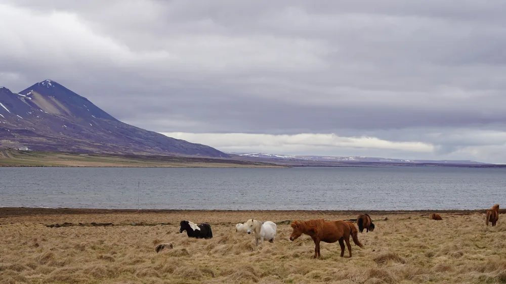 Photo Xintao ZHOU, Pexels · Akureyri, North Iceland
Lakes and waterfalls lie at the edge of the route. Providers name rides to Lake Hafravatn near Reykjavík, to the Reykjafoss waterfall near Akureyri and at Lake Baratz near Alghero.
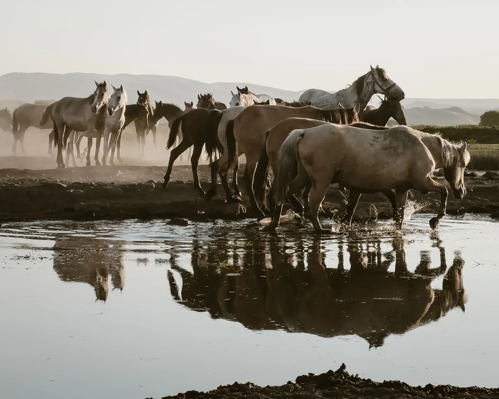 Photo Mehmet Turgut Kirkgoz, Pexels · Hacılar, Kayseri, Türkiye
Crossing rivers and fords: one provider describes a ride in the water of the Ljuta in Croatia, in Albania rides lead through the Drino valley and the Vjosa National Park.
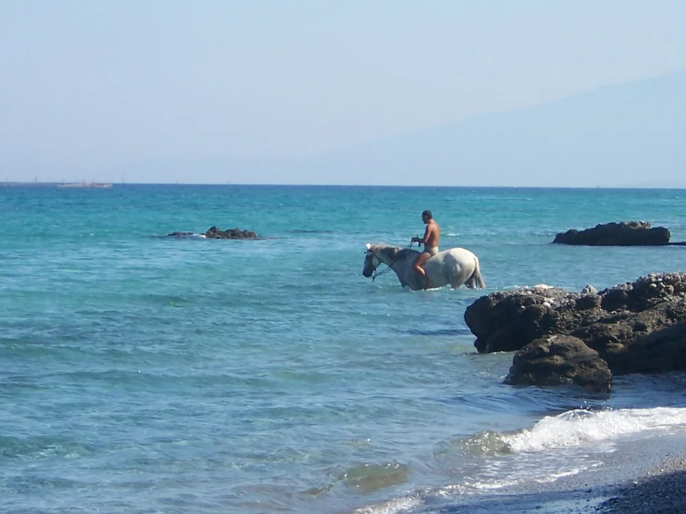 Photo Zdvihak, CC BY 3.0, Wikimedia Commons · Platamonas, Pieria, Greece
Shallow water and surf: near Katakolo providers ride into the sea, near Durrës in shallow water, some offers name swimming with the horse. How deep the ride goes is stated by the provider.
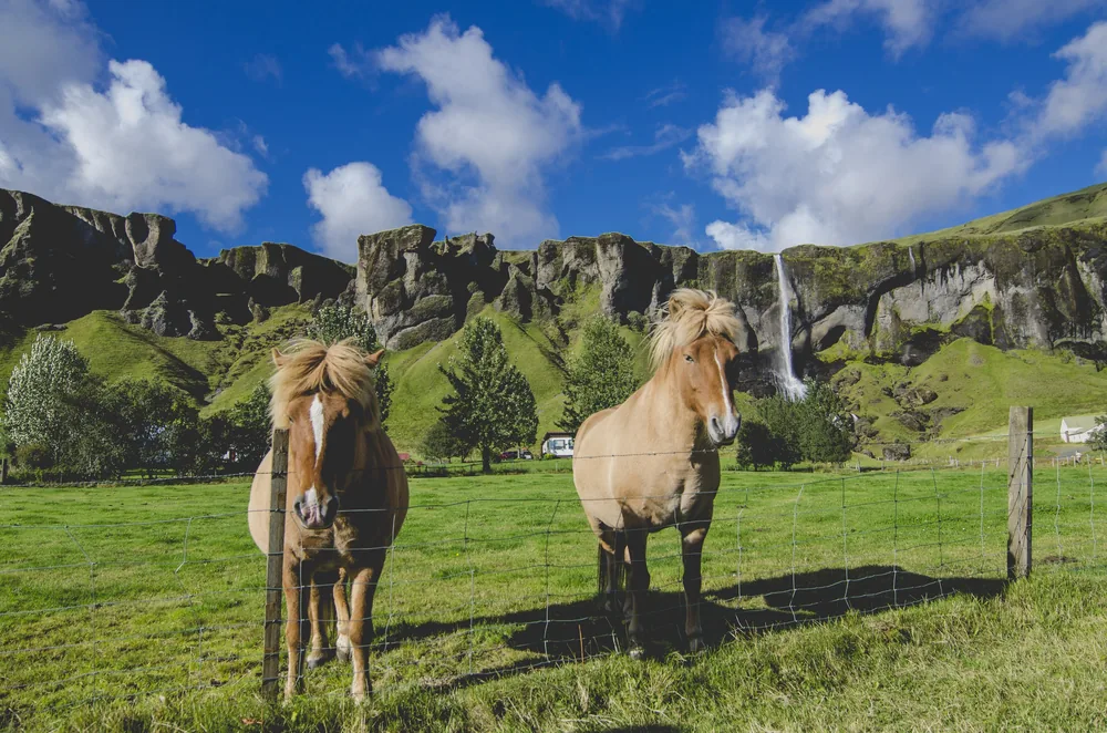
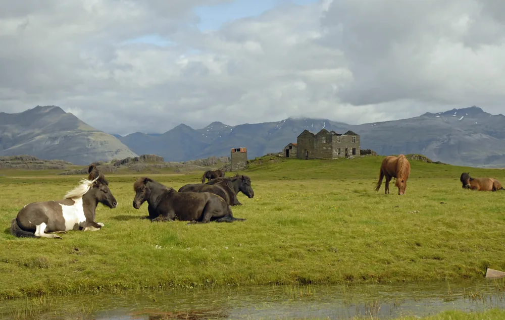
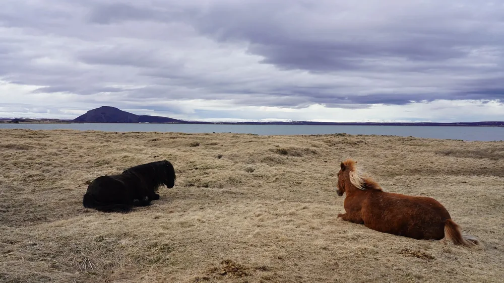
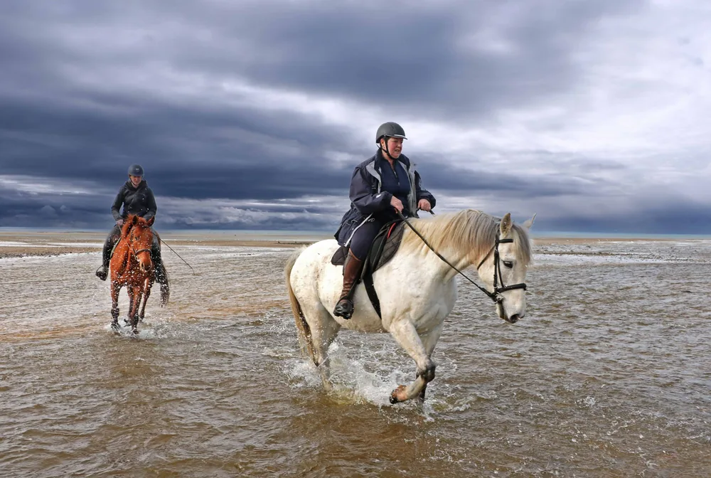
We place a ride here when the title names lake, lagoon, waterfall or river.
Nine rides at the water.
Ad Saddle Atlas may earn a commission when you book through a link. The price stays the same for you.
More rides of this world
A selection of offers from our partner Viator, not a complete market overview. The world sorts by the provider’s title. Order by price, lowest first.
Where the water is.
Eight places with water, each with what the providers name there. Photos only where we can name the place.
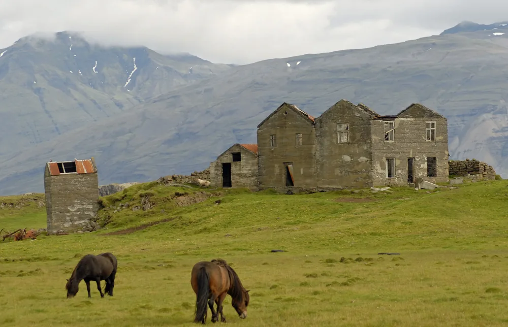 Photo Neil D'Cruze, CC BY 2.0, Wikimedia Commons · near Lake Hóp, North Iceland
A lake, a steaming valley, a waterfall
In the southwest one provider names a private ride to Lake Hafravatn, another leads through the Reykjadalur valley with geothermal steam, green hills and streams; according to Visit Iceland Hveragerði lies in a large geothermal area. In the south a warning applies at Reynisfjara beach: Safetravel names unpredictable waves that, even in calm weather, reach far beyond the others.
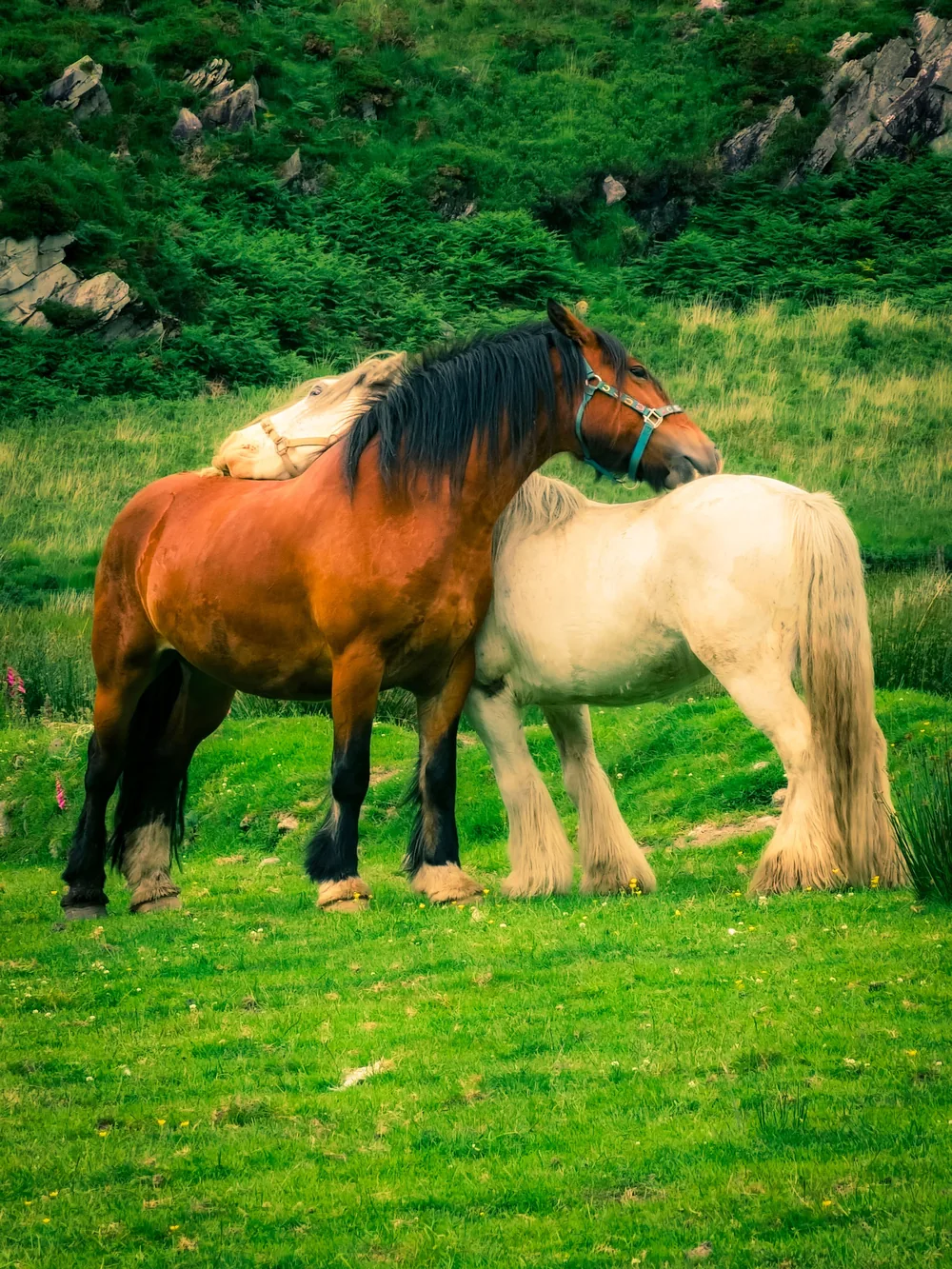 Photo Oleksandr Kobuta, Pexels · Gap of Dunloe, Kerry
In Ireland water also comes from above
In Killarney National Park a provider rides on the Knockreer Estate north of Lough Lein, near Westport on Clew Bay over countryside and to the open beach, in the Burren up to over 1,200 feet above the Atlantic. In Valentia 1,677.5 millimetres of rain fall a year (NOAA, own means 1991 to 2020): in Ireland water also comes from above.
Lake Baratz and Lake Como
On Sardinia one provider names rides at Lake Baratz near Alghero and at Porto Ferro, one card a ride on the beach near Orosei; on Lake Como providers lead rides from Colico.
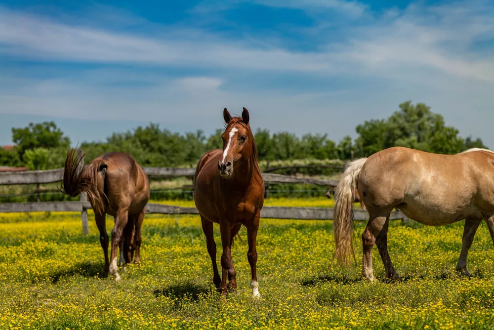 Photo Vladimir Srajber, Pexels · Garešnica, Croatia
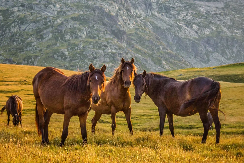 Photo Perspectivo, Pexels · Sofia Province, Bulgaria
46 waterfalls on one eco trail
According to the Bulgarian National Radio the eco trail names 46 waterfalls, the highest is called Orpheus and is more than 70 metres tall.
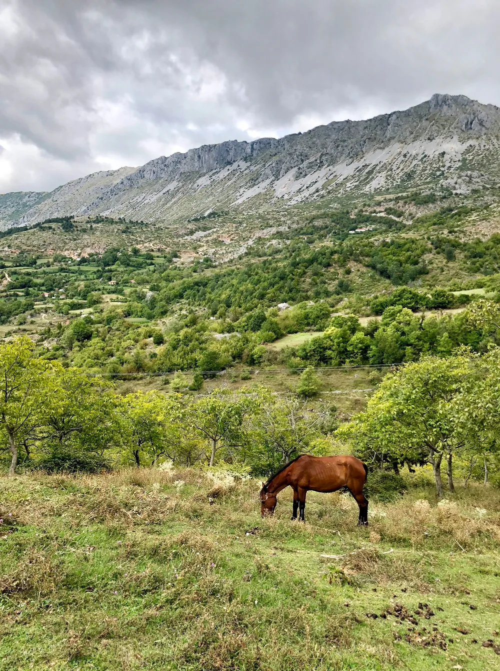 Photo Valter Zhara, Pexels · Shengjergj, Albania
River, lake and beach
In the Drino valley near Gjirokastër a ride with Lake Cini as a photo stop. One card names a ride at Lake Skadar with a fortress path; near Durrës providers ride on the beach and in shallow water.
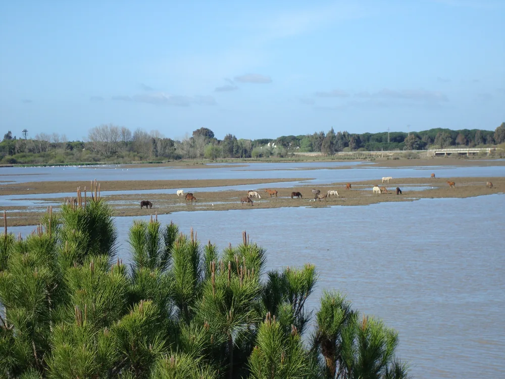 Photo mateu mulet, CC BY 3.0, Wikimedia Commons · Doñana marshes near El Rocío
The Doñana marsh
According to the Junta de Andalucía the Doñana National Park covers 54,251 hectares and was declared in 1969; the marsh is a resting, breeding and wintering area for thousands of birds from Europe and Africa. Visitors should stay on marked paths.
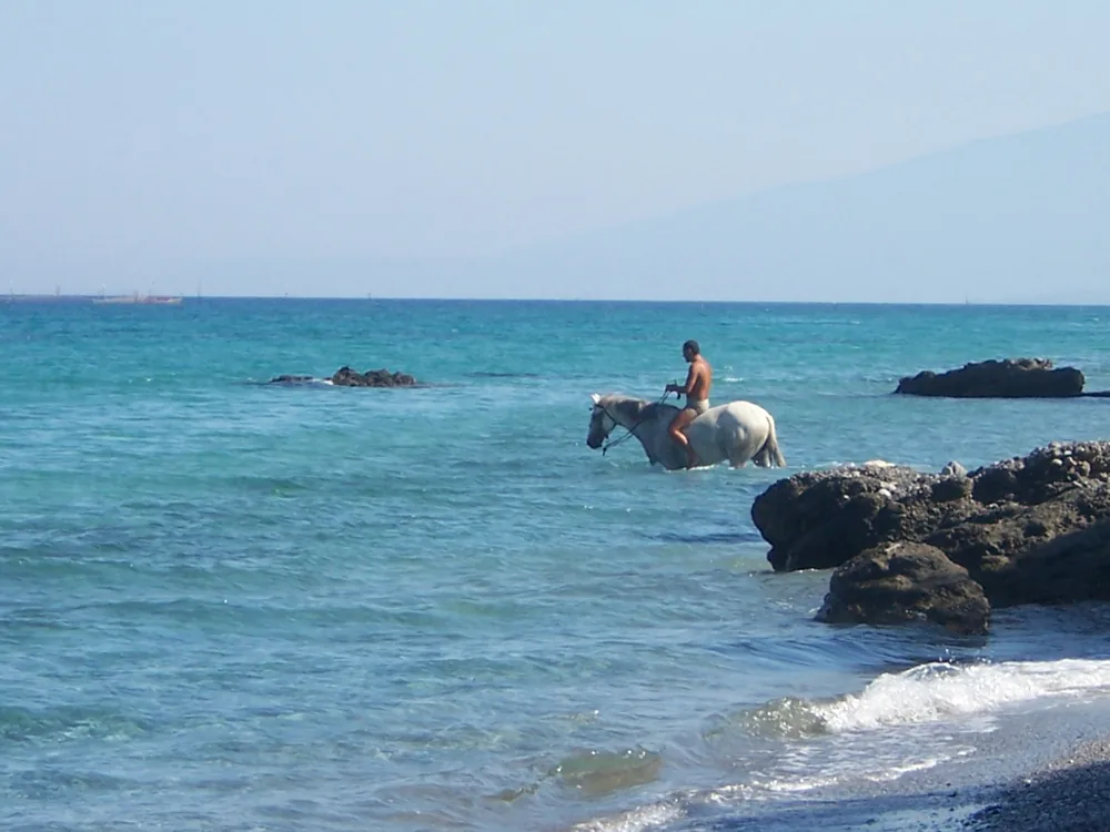 Photo Zdvihak, CC BY 3.0, Wikimedia Commons · Platamonas, Pieria
Wetlands and a sea bay
In the Camargue a provider names rides through wetlands, open plains and protected areas; on the Côte d’Azur one card names a ride at Lake Saint-Cassien. Near Katakolo a provider describes rides through pine forest, along the beach and into the sea. On Zakynthos lies Laganas Bay, a Natura 2000 site of 6,977.66 hectares, of which 87.69 percent is sea; according to the data form the coastal zone is a nesting area of the loggerhead sea turtle (EEA).
The rides lead along the shore, through fords and over meadows by the water.
- PaceThe pace is mostly calm, at a walk or a trot, on firm shore also faster.
- Five forms of waterWater appears on the shore, in shallow water, in the river, in the sea and, in some offers, as swimming with the horse.
- What we have not checkedWhat the provider describes we have not checked.
- What to askAsk about the water depth, the time in the water, whether the horses swim, the weight limit and how it is decided in current, waves or high water. A non-swimmer should say so beforehand.
Reynisfjara: waves that reach far beyond the others
At Reynisfjara beach Safetravel warns of unpredictable waves that, even in calm weather, reach far beyond the others.
Source: Safetravel on Visit Iceland (official statement, read 11/12 October 2026).
Doñana: stay on marked paths
Visitors should stay on marked paths in Doñana National Park. The marsh is a resting, breeding and wintering area for thousands of birds from Europe and Africa.
Source: Junta de Andalucía, Doñana National Park (official statement, read 11/12 October 2026).
Water level and weather change with the season.
Water level and weather change with the season, and that is part of the selection: in Sofia 84.1 millimetres of rain fall in June and 74.5 in July, in Dubrovnik 143.9 in November (NOAA, own means 1991 to 2020), in Antalya 250.9 millimetres in December and 4.7 in July (MGM). On Iceland the weather is changeable; according to Guide to Iceland summer from June to August is a good riding window. Waterfalls do not run equally all year; a provider on Maui calls them “seasonal”, for Europe we have no source. Ask the provider about the water level at your travel date. No source names a best time to travel, and we give none.
Rain by month, as far as we could check.
Own means from NOAA daily values and MGM values, as named in the sources below (not official normals).
| Place | Month | mm | Source |
|---|---|---|---|
| Sofia | June | 84.1 | NOAA |
| Sofia | July | 74.5 | NOAA |
| Dubrovnik | November | 143.9 | NOAA |
| Antalya | December | 250.9 | MGM |
| Antalya | July | 4.7 | MGM |
Numbers we could check.
How large is the Doñana National Park?
54,251 hectares in the provinces of Huelva and Seville, declared in 1969.
Source: Junta de Andalucía, Doñana National Park.
How many waterfalls does the Soskovcheto reserve have?
According to the Bulgarian National Radio 46, the highest is more than 70 metres tall.
Source: BNR, Soskovcheto Nature Reserve, 23 August 2020.
How large is the Natura 2000 site of Laganas Bay?
6,977.66 hectares, of which 87.69 percent is sea.
Source: EEA, Natura 2000 Standard Data Form GR2210002.
What is Hveragerði?
According to Visit Iceland a town in a large geothermal area, 45 kilometres east of Reykjavík.
Source: Visit Iceland, South Iceland.
Why does Safetravel warn about Reynisfjara?
Because of unpredictable waves that, even in calm weather, reach far beyond the others.
Source: Safetravel on Visit Iceland.
How much does it rain in Valentia in Ireland?
1,677.5 millimetres a year.
Source: NOAA daily values Valentia, own means 1991 to 2020.
When does it rain most in Sofia?
In June with 84.1 millimetres.
Source: NOAA daily values Sofia, own means 1991 to 2020.
Four more ways to ride.
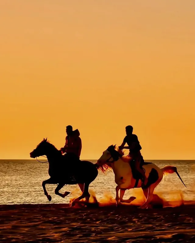
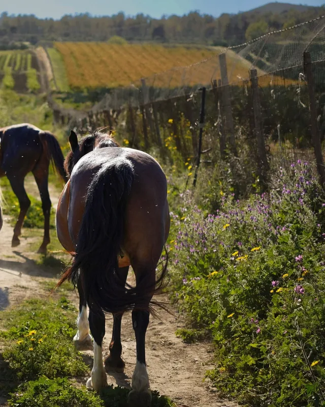
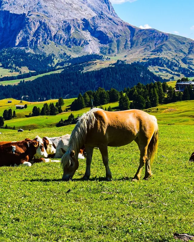
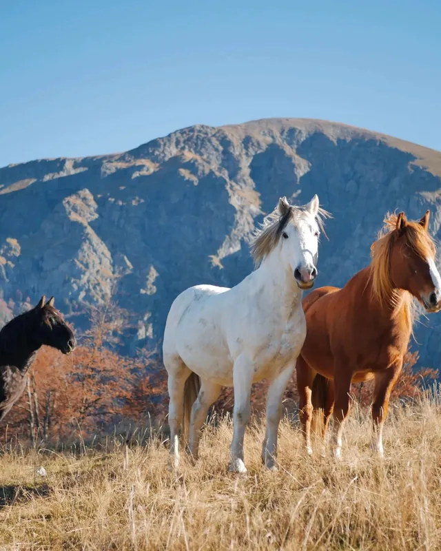


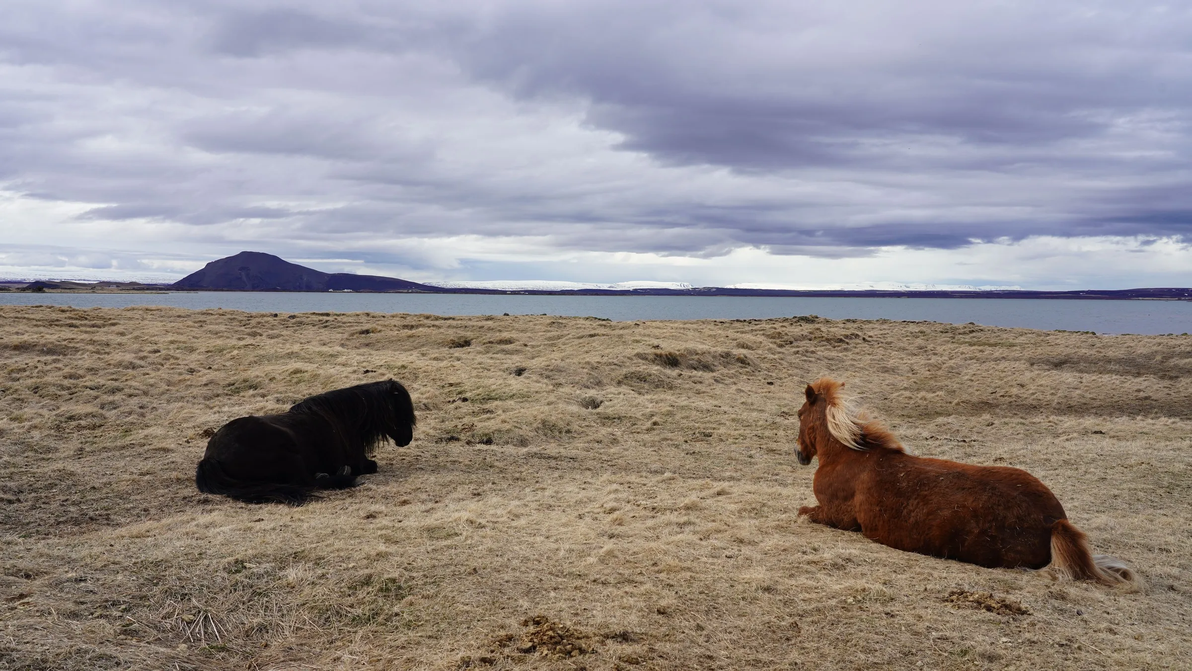
Where the water goes still, the ride goes quiet too.
Photo X1ntao ZHOU, Pexels · Lake Myvatn, Iceland
Which ride by the water suits you?
- Junta de Andalucía, Doñana National Park; Visit Iceland, South Iceland and North Iceland; Safetravel on Reynisfjara; Bulgarian National Radio, Soskovcheto Nature Reserve (23 August 2020). Authorities, tourism portal and broadcaster, named only as a statement of the source.
- European Environment Agency, Natura 2000 Standard Data Form GR2210002, natura2000.eea.europa.eu.
- NOAA NCEI, GHCN-Daily, stations Valentia, Sofia, Dubrovnik, own means 1991 to 2020, not official normals; MGM Turkey, Antalya.
- Offer descriptions (Viator, GetYourGuide), as of 11/12 October 2026, provider information, not checked.
- Offers: Viator pool and GetYourGuide hand cards, as of 11 October 2026.
Advertisement. Booking links lead to our partner Viator, we may receive a commission, the price stays the same. Details on level come from the provider, as of the date shown. Figures as of 3 October 2026.Card photos ArtHouse Studio, Fabio Tedde, Anna Lupa, Pexels.Back to the Saddle Map